22
Jul 08

Guilin to Yangshuo


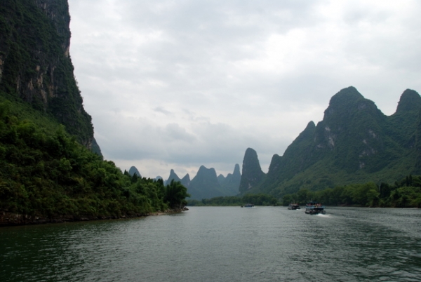
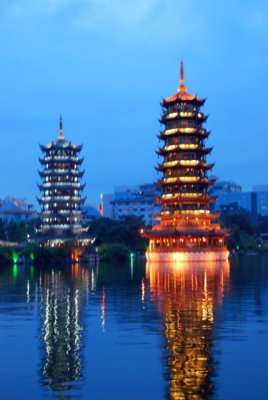
Tuesday, July 22nd Today we got up early for our big river cruise down the Li. The cruise was amazing. Just wait until you see the pictures (many posted after the jump, and we have exponentially more if you ever want to see them)! It also completed the range of every possible form of travel city to city in China for us. The cruise ended about 4 hours down river, through the karst peaks, in a much smaller town, Yangshuo. By the way, Chinese refer to Guilin as a small city; it is a city of about 5 million. Yangshou is about 600,000 (miniscule by China’s standard) and honestly has a real small town feel. Continue reading →
21
Jul 08

Xi’an to Guilin


Monday, July 21 Today we made a big move. We slept in slightly and then caught the airport express bus. The bus left from in front of a nearby hotel and we had to fend off many persistent cab drivers desperate for our fare. After waiting for a discount airfare (per the advice of our reliable friends at CITS) the only plane tickets left for our date were first class. They encouraged us to fly the next day instead, but the tour must go on. We enjoyed our first class treatment in lines, lounges and seating and it only cost the same as a U.S. coach domestic flight. This leg of the trip was noticeably different from our black market bus experience. Josh kept waiting for several people to pack in around him in his spacious seat. Continue reading →


10
Jul 08

From Beijing to Hong Kong

This is where we are headed…

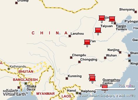
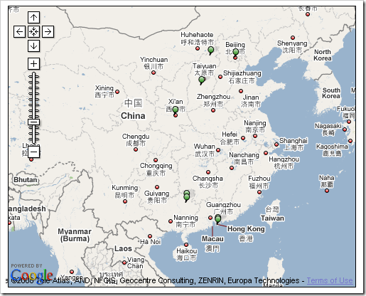
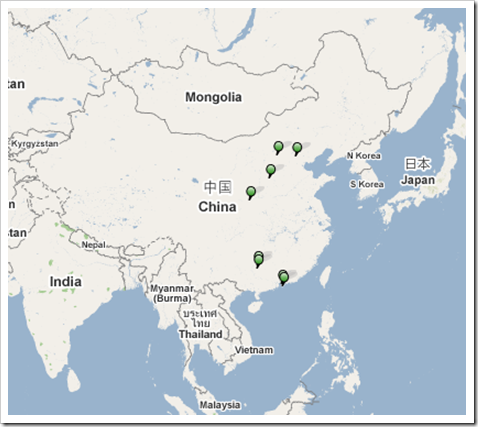
I can’t tell which mapping program is better so I have included two maps.

We are headed in a counter-clockwise direction, beginning in the upper right (i.e., Northeast) corner in Beijing.  Since the green and red push pins are not labeled with the appropriate city names and do not tell us “geographically hindered” people what cities they are “tacking”, here’s the list in chronological order:  Beijing, Datong, Pingyao, Xi’an, Guilin, Yangshuo, Shenzhen and ending in Hong Kong.

Map #1

image

Map #2

Map image

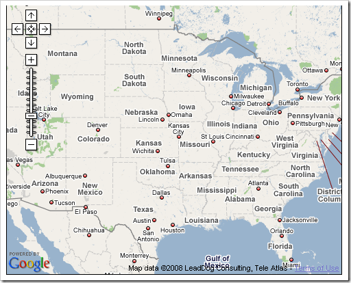
Here is the first map zoomed in a bit differently.  The map of the states beneath it is set at the exact same scale just so you can get an idea of how far we will be traveling.

image

image